Etosha: Overview
(Rhia’s comments are italicized)
Etosha National Park is located in the Northwestern part of Namibia and is one of the largest national parks in all of Africa. Though it used to encompass 99,426 km² when it was first proclaimed in 1907, the area has since been reduced through a series of government proclamations to 22,270 km².
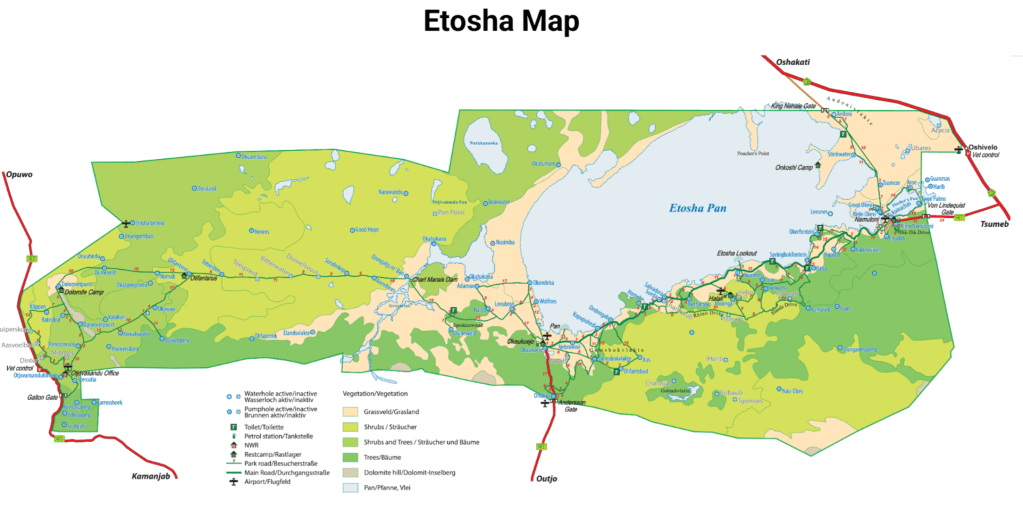
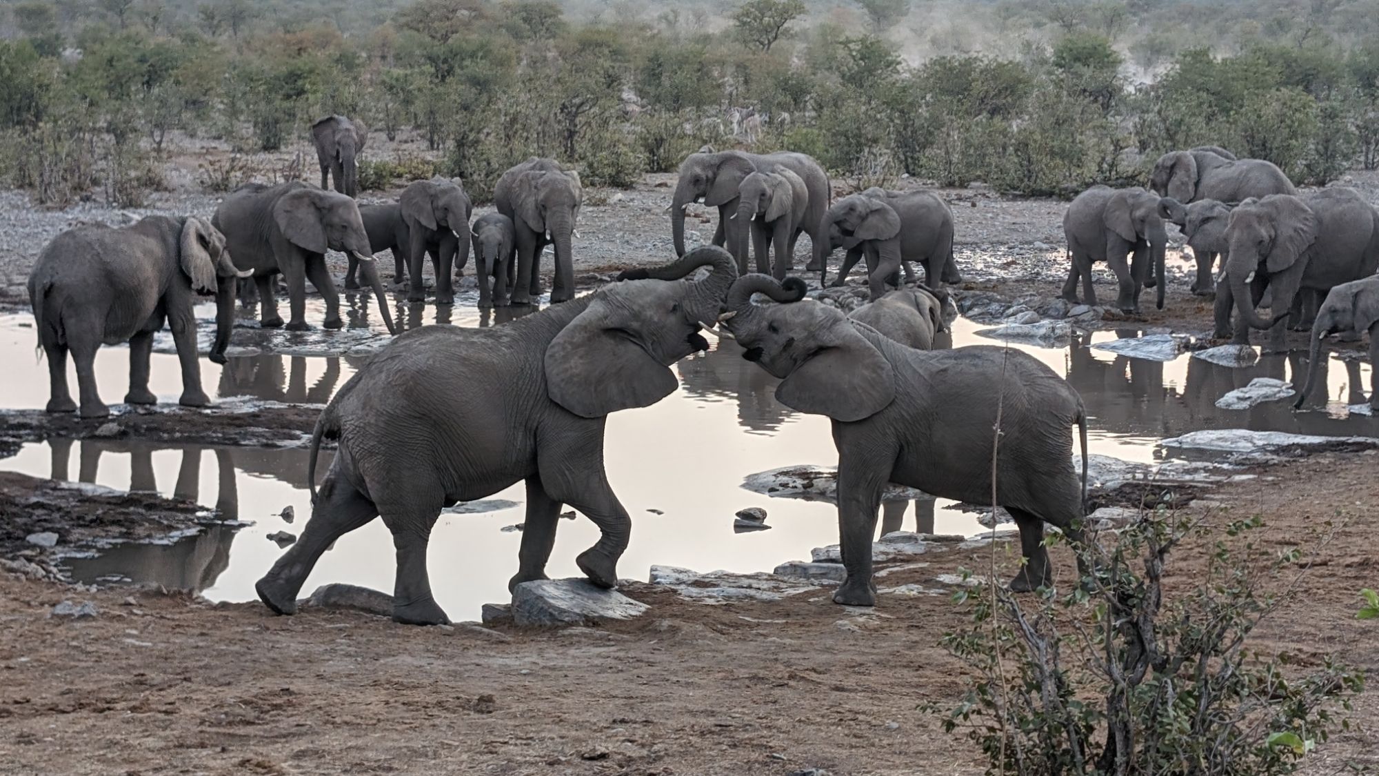
The Etosha salt pan is the most obvious geographic feature of the park, and briefly fills with water during the rainy summer months, but the ultra high salinity of the soil limits the number of species that can inhabit the area. But when the pan fills with water, it does attract flamingos and pelicans. The park has about 114 mammal species, 340 bird species, 110 reptile species, 16 amphibian species and 1 species of fish (up to 49 species of fish during floods).
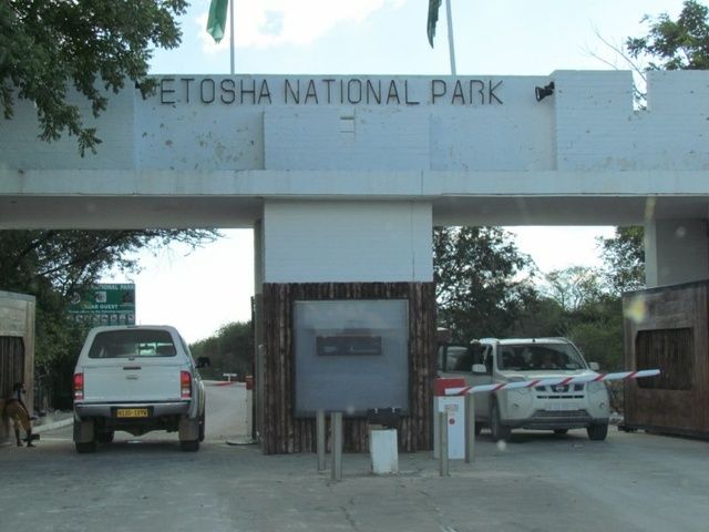
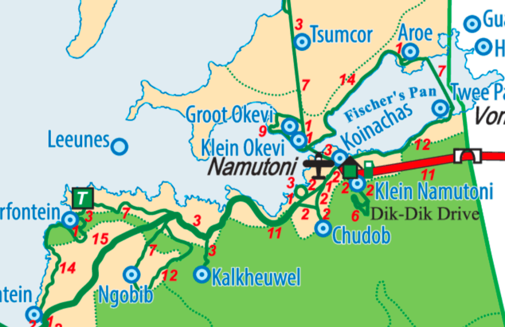
We first heard of this park from our friends Kara and Rani whom we met on a safari ride through Chobi National Park in Botswana. They had raved about Okaukuejo Rest Camp and its superb waterhole right at the camp’s edge. So from Chobi, we started making our way west through Namibia to Okaukuejo via Grootfontein which sits east of the park. It was there that I had actually inspected the map of Etosha, and found that the paved route to Etosha took us far to the south of the park to Outjo, and then north to the rest camp. So we opted to shave off 225 kilometers and drive through the Von Lindquist Gate on the east side of the park and book a stay at Namutoni Rest Camp, for one night…or two if we liked it
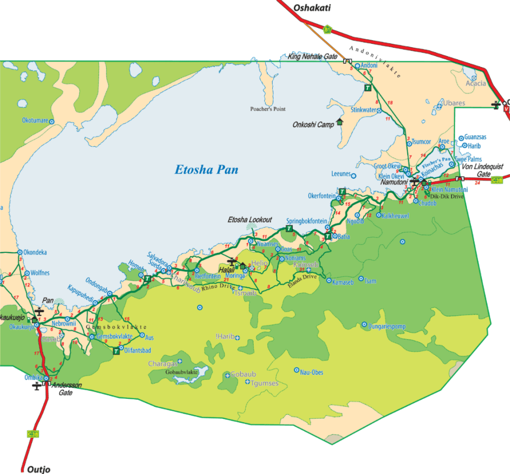
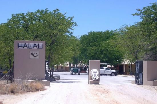
When we found that the roads through the park were essentially 2×4 friendly, we took ourselves to one of the area waterholes and had such a wonderful experience, that the second night at Namutoni became a reality . Our plan then became to explore Etosha, and to journey through the park to Okaukuejo Rest Camp, the jewel in the crown. Unfortunately, we found out that Okaukuejo had no openings for the two nights we wanted so we changed our plans and stopped at Halali (halfway between the two camps). Halali, which is situated in the Dolomite Hills, or as the locals call it, Ondundozonananandana, which means “the place where young boy herding cattle went, never to return”, probably implying a high density of predators like leopards in the hills. Other than animals and topography, I see a lot of similarities between Africa and Wales; this is one of them. Our place names in Wales tend to be a description; for example, Aberdar means ‘mouth of the river Dar’, Llandudno means ‘the parish town of St. Tudno’. Then, of course, there’s the famous Llanfairpwllgwyngyllgogerychwyrndrobwyllllantysiliogogogoch which means, ‘The parish of St Mary’s Church in the hollow of the white I’m of the parish of Tysilio of the red I’m. 😂
Back to the overview…While we were at Halali, we were pleased to discover that a room had opened up at Okaukuejo for two nights, but it was a day later than we needed. So we decided to drive from Halali, to outside of the park for a night, and then return to finally experience Okaukuejo Rest Camp.
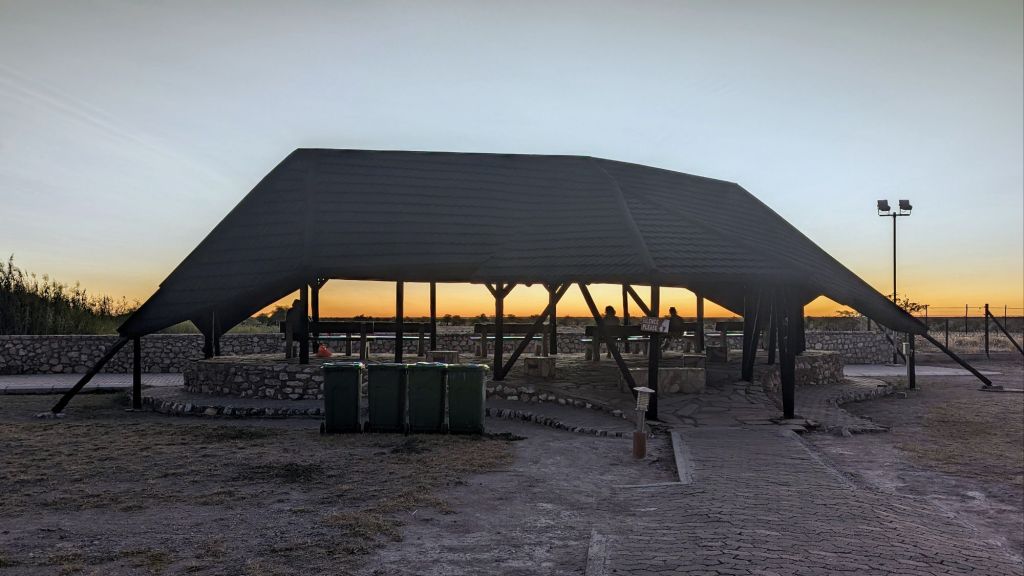
Throughout the preserves, there are six different camps that one can book a stay at. From camp sites all the way to the luxury rooms at Okaukuejo. We stopped at three of these, and had different experiences at each. We booked a double room at each camp, which is one step up from pitching a tent at a campsite. Of the three camps, Namutoni had the best room by far, followed by Okaukuejo and with Halali bringing up the rear.
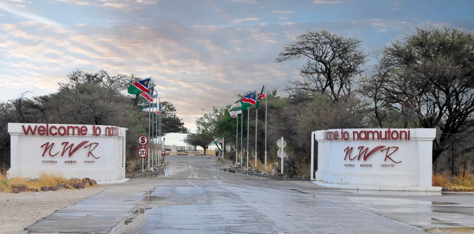
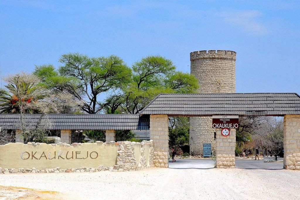
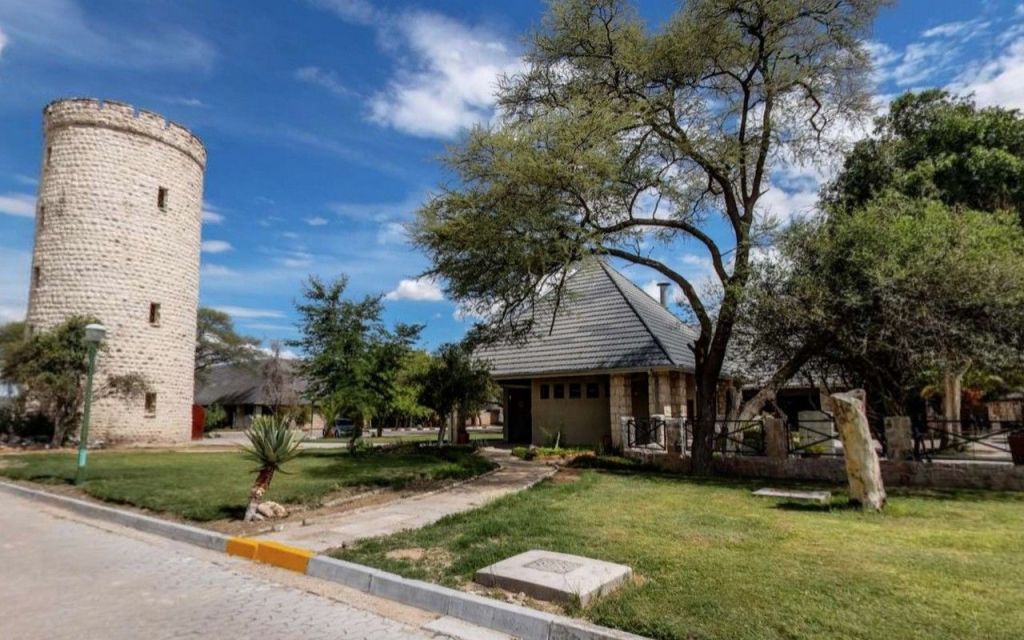
As far as camp layout and amenities, Okaukuejo blew everyone out of the water with Namutoni taking second. Okaukuejo had more amenities, the best restaurant, and more accommodations than the other three camps.
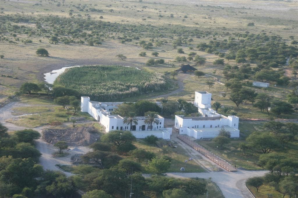
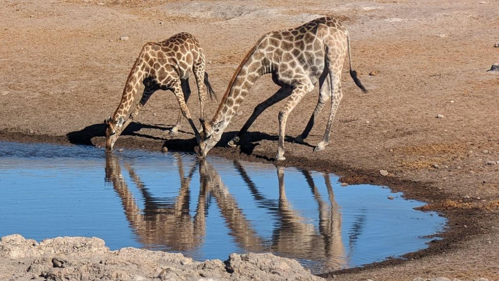
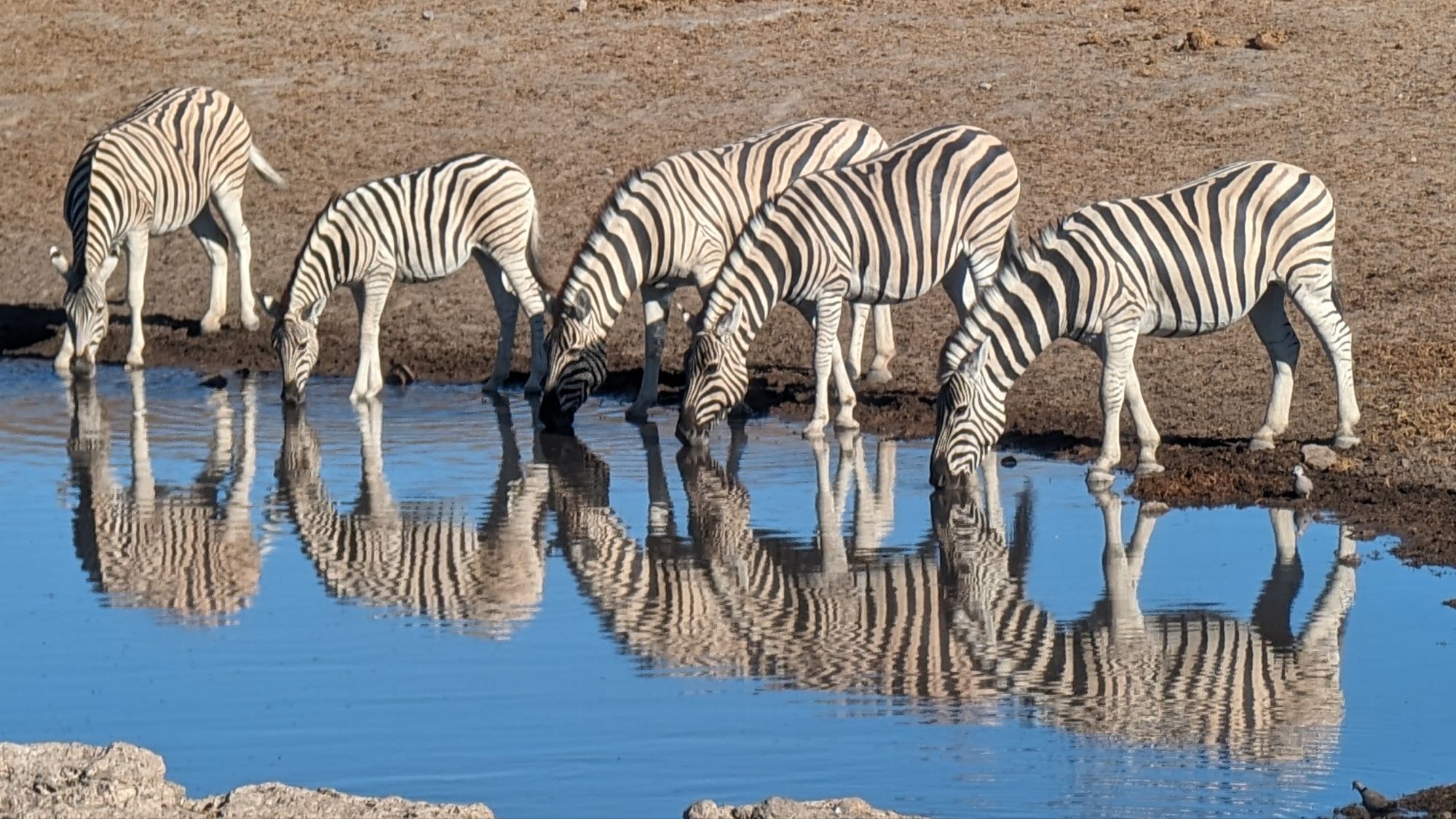
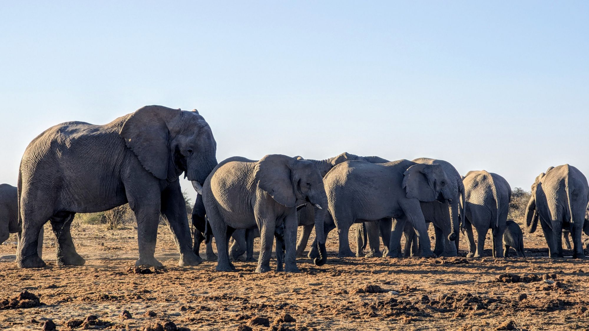
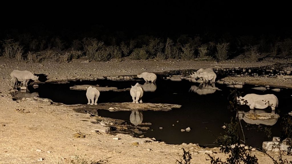
When you go to a zoo, you get to see what the animals ARE. When you go to visit these preserves, you get to see what the animals DO. And what we got to see the animals DO was migrate. A guide we spoke to said that with this drought, a lot of animals had migrated from Okaukuejo over to the Halali Rest Camp area because the food was more abundant there. Not all animals had made that journey, but it seemed that most of them had. So the best camp waterhole was Halali, though the benches were extremely uncomfortable (probably because we spent two full working day with our butts in them watching the nature show). But you can be sure that during the rains, Okaukuejo would be in competition for the best because of its location close to both the grasslands, and the trees in the Dolomite Hills.
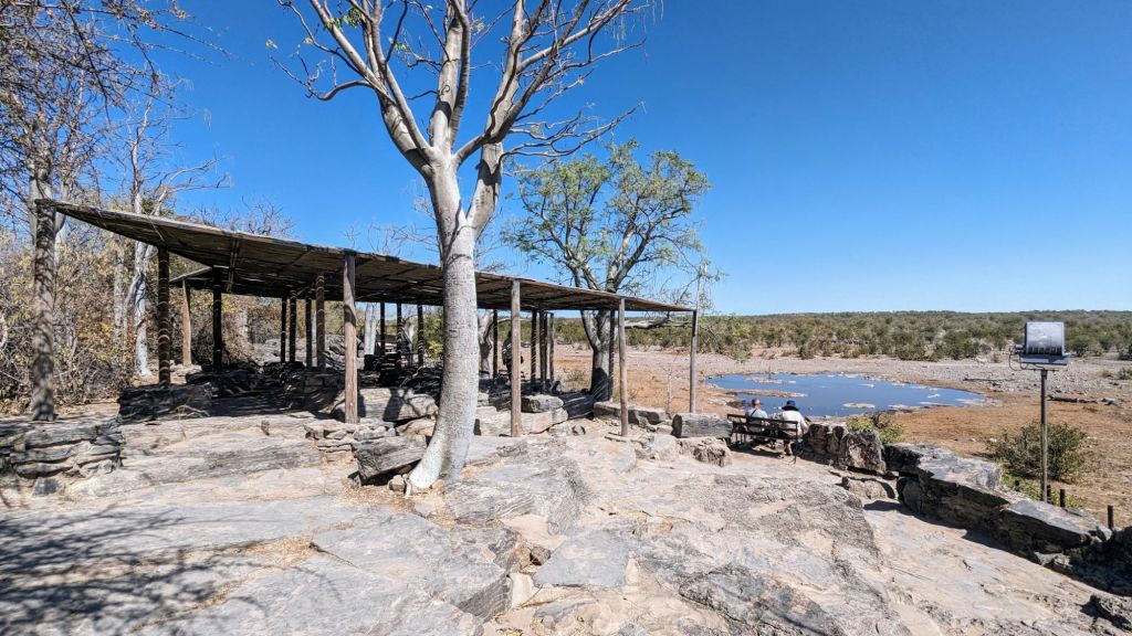
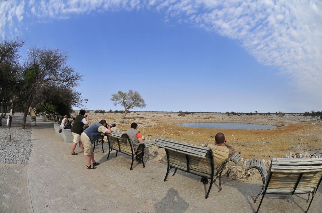
Namutoni claims the best out-of-camp waterholes and exploring simply because the gravel roads were smoother on the east side of the park, and the waterholes were located much closer to camp and to each other. Two things that Etosha requires were that all vehicles must stay on the established roads, and all vehicles needed to be back in camp before sundown because they closed the gates to the camp at that time.
I absolutely loved my experience through Etosha, and am eager to return in the future to see the park when there is not a drought. I would also love to visit the other camps, but I think we need a 4×4 next time. Oh and I am adamantly NOT making that journey through the park in a 2×4 (with 2×4 suspension) ever again!! I think some of my innards are still missing some pieces!
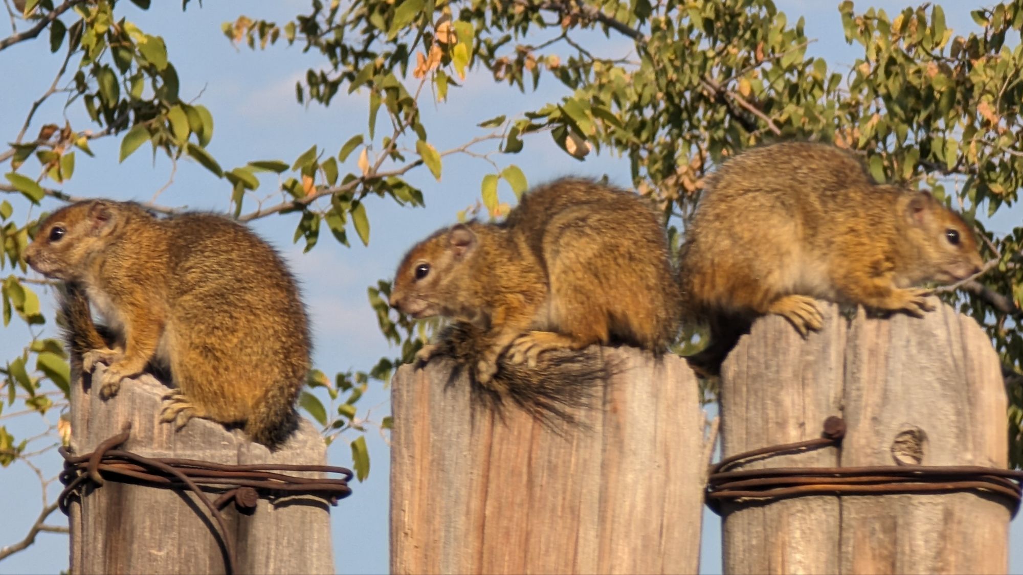
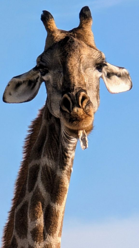
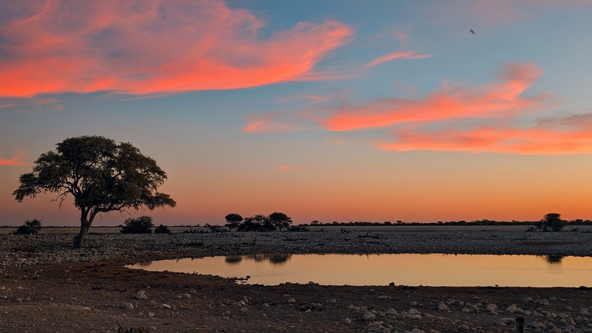
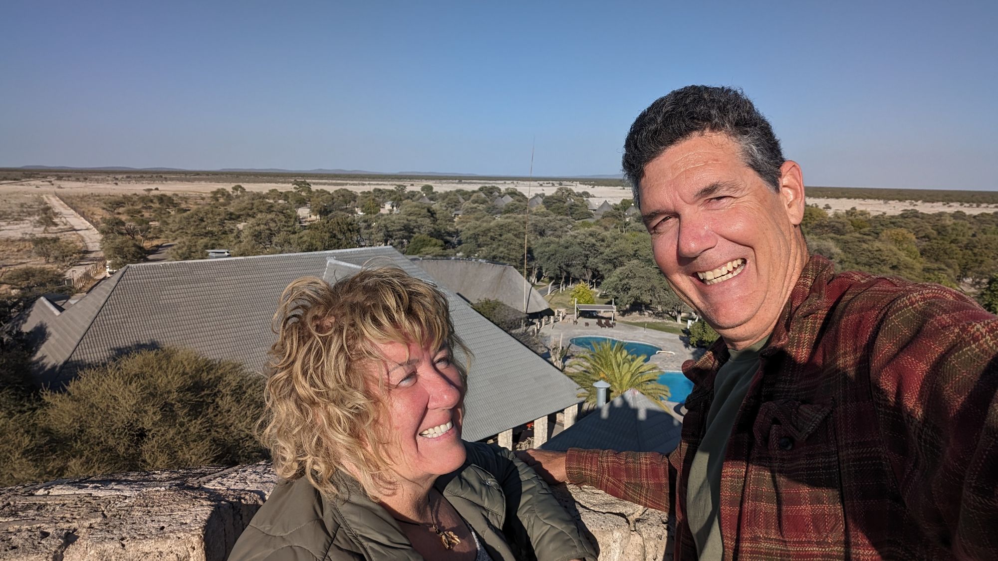
As an extra bonus, I’d just like to highlight my three favorite photos from each camp.

Leave a comment